


Heavy Snowfall Hits Central New York
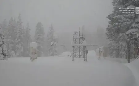
The Central New York region is bracing for heavy snowfall that began early Sunday morning. As of 8 AM, the snow is moving northward, with significant impacts on travel expected throughout the day and extending into Monday.
Winter Storm Warnings Issued
The National Weather Service has issued winter storm warnings for the entire state, which remain in effect until 7 PM on Monday. These warnings indicate dangerous conditions with frigid temperatures and strong winds.
Current Weather Conditions
- Morning wind chills range from -5 to -10 degrees.
- Temperatures are expected to rise slightly into the low teens in the afternoon.
- Wind gusts are forecasted to reach 20 to 25 mph.
This winter weather may lead to blowing and drifting snow, further complicating travel. Snow showers that begin light to moderate in the morning are expected to intensify by the afternoon.
Snowfall Projections
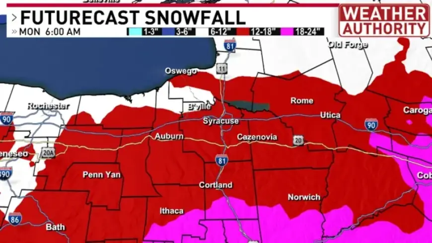
Snowfall rates are anticipated to be between 1 to 2 inches per hour from 2 PM Sunday until midnight on Monday. By 4 PM, areas in the southern part of New York could see between 6 to 12 inches of snow accumulated.
- Syracuse may report around 6 inches by the afternoon.
- Nearby areas to the north are likely to receive slightly less snowfall.
By 6 AM on Monday, widespread totals of 12 to 18 inches are likely across the region, with some higher elevations potentially exceeding 18 inches.
Additional Snowfall Expected
Following this initial storm, lake effect snow is expected to develop on Monday afternoon, leading to further accumulation overnight into Tuesday morning. The week ahead will continue to bring daily snow showers, with a few inches of snow possible each day.
Residents are urged to prepare for challenging travel conditions and to stay updated on the latest forecasts as the situation develops.