


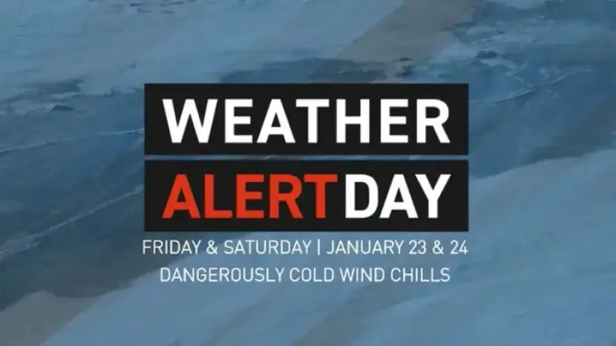
Snow Subsides as Dangerous Cold Looms Friday and Saturday
Weather conditions in West Michigan are shifting dramatically as the region experiences a transition from significant snowfall to dangerously low temperatures. An Arctic air mass is predicted to settle over the area early on Friday, and it is expected to linger through the weekend.
Extreme Cold Warning in Effect
The National Weather Service has designated both Friday and Saturday as Weather Alert Days due to the severe risk associated with the cold front. The coldest air is anticipated to arrive late on Friday night.
Temperature Forecast
By Saturday morning, temperatures along and east of US-131 will plummet to between -10 and -15 degrees Fahrenheit. Areas closer to Lake Michigan may experience slightly milder conditions, with temperatures ranging from 0 to -10 degrees.
- Extreme Cold Warning: Issued for Ottawa, Kent, and Ionia counties with wind chills potentially reaching -30 degrees.
- Cold Weather Advisory: Issued for Allegan, Barry, and Eaton counties, warning of wind chills as low as -25 degrees.
Risk of Frostbite
In these extreme conditions, exposed skin could freeze in just 10 minutes. For those in the Cold Weather Advisory area, frostbite can occur in as little as 30 minutes. Both warnings are set to expire at 11 a.m. on Saturday.
Upcoming Weather Trends
Although conditions are expected to improve gradually throughout the weekend, the temperatures will remain lower than average until the middle of the following week.
Snow Showers Expected
As the frigid air moves over Lake Michigan, occasional snow showers are anticipated. However, heavy snowfall is not in the forecast. Residents are advised to stay tuned to updates from Filmogaz.com for the latest winter weather information.