


New York Prepares for Potential Record-Breaking Snowfall
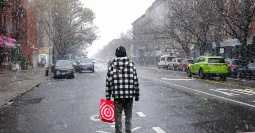
A major winter storm is projected to hit New York City and its surrounding areas, starting late Saturday night and lasting through Monday. This storm is expected to bring frigid temperatures and significant snowfall, prompting warnings from the National Weather Service about potential travel disruptions.
Forecasted Snowfall and Temperature Drops
Snow accumulation in the region is likely to range between six to twelve inches. However, experts are increasingly confident that some locations, including parts of New York City, could see over a foot of snow. Bill Goodman, a meteorologist from the National Weather Service, mentioned this might be “the worst storm in a few years.” The last instance where over a foot of snow fell in Central Park from a single storm was in 2021.
A winter storm watch has been issued for New York, New Jersey, and Connecticut, emphasizing the storm’s potential severity. This cold front will introduce frigid air from Canada, decreasing temperatures significantly. On Friday, temperatures in New York City will hover in the mid-30s, but they are predicted to plunge to around 10 degrees overnight.
Impacts on Travel and Daily Life
- Snowfall expected to disrupt transportation and daily activities.
- Travelers should avoid road use from Saturday night through Monday.
- Sunday night is highlighted as particularly hazardous for travel.
Cold conditions will be prominent, as wind chills could dip to five degrees below zero. On Saturday, afternoon highs are unlikely to exceed 20 degrees, with the city potentially experiencing even lower temperatures. Sunday is forecasted to bring slightly warmer temperatures in the mid-20s.
Timing and Nature of Snowfall
Snow is anticipated to begin accumulating late Saturday night, with a few inches expected by Sunday morning. The heaviest snowfall is expected to occur on Sunday into the evening. Initially, the snow will likely be dry and powdery, making it difficult to mold into snowballs.
Later, there’s a possibility the snow could transition to a heavier, wetter mix. If the storm shifts slightly north, it may bring warmer air that could result in sleet and freezing rain. This could lower overall snowfall and create an icy topping on the snow.
Warnings for the Upcoming Storm
The snow is projected to taper off on Monday, causing challenges for the morning commute. Clean-up crews will be working to clear roads in what is expected to be a messy start to the week. Over 160 million people across the United States may face winter weather hazards as the storm moves from the Rocky Mountains through the Midwest and Northeast.
For ongoing updates and forecasts, stay tuned to Filmogaz.com.