


Severe Cold Weather Hits NE Ohio, Prepares Region for Major Weekend Storm
Northeast Ohio is bracing for a severe cold weather event as an influx of Arctic air descends upon the region starting Friday. This icy blast will bring hazardous subzero wind chills, with little relief expected into early next week.
Forecasted Cold Snap
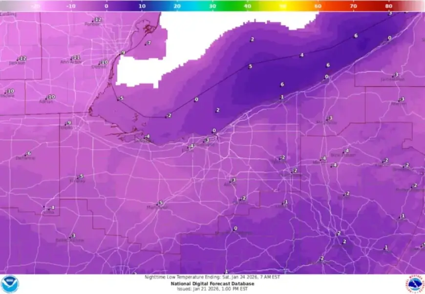
The National Weather Service has indicated that temperatures will drop significantly, potentially reaching the single digits by Friday night. High temperatures are only expected to be in the lower teens, and gusty winds will exacerbate the cold, making it feel even chillier.
Key Weather Details
- Friday Daytime High: Lower teens
- Friday Night Lows: Below zero
- Saturday Morning Wind Chill: Approximately -10 degrees
- Expected Lowest Wind Chills: As low as -15 degrees
The coldest conditions are predicted for late Friday into Saturday, with wind chills posing a serious risk of frostbite for exposed skin in a short amount of time. This cold outbreak is expected to persist, keeping temperatures significantly below freezing through the early part of next week.
Impact of Prolonged Cold
This cold wave is part of a troublesome pattern seen throughout January, which has featured sharp temperature fluctuations. Earlier this month, Cleveland Hopkins International Airport recorded an average temperature of just 7 degrees. The combination of intense cold and snow could lead to frozen pipes and challenging travel conditions.
Health and Safety Risks
Residents without reliable heating or shelter should take precautions. This cold snap will strain energy systems and complicate recovery efforts in areas experiencing snow or ice.
Upcoming Winter Storm
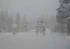
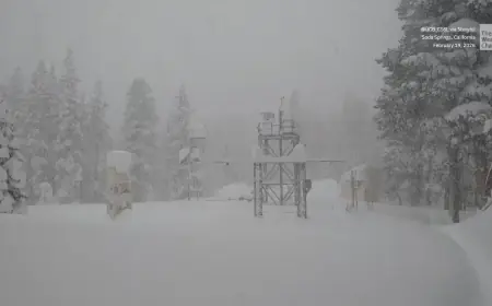
As the cold air settles in, the region prepares for a significant winter storm projected for Saturday night into Sunday. Snowfall accumulation is expected, especially in areas east of Interstate 71.
Storm Expectations
- Snow Timing: Late Saturday night to Sunday
- Expected Snow Accumulation: Uncertain but likely measurable
- Travel Impacts: Increased difficulty due to snow and ice
Forecasters anticipate that the Arctic conditions will enhance the storm’s impact. Snow that falls will accumulate quickly and may linger, leading to prolonged travel challenges into early next week. As the situation develops, further updates on snowfall amounts and storm track will be issued.